Crypto scammers hacked OpenAI’s official X account
In a worrying development for the artificial intelligence community, OpenAI’s official news...
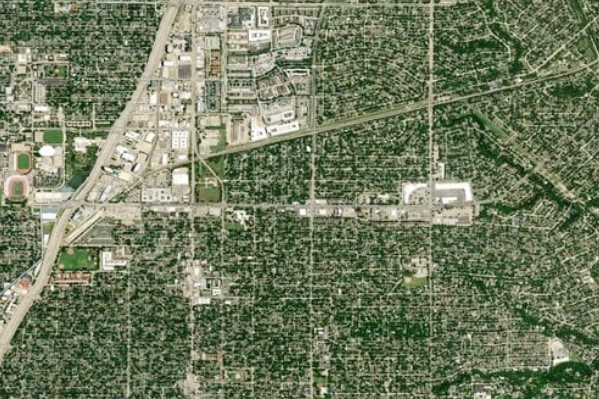
Google Maps introduces enhanced satellite imagery in latest update
Google Maps has introduced a significant update, featuring improved satellite imagery resolution within the app. This latest enhancement also expands the global coverage of the Street View feature.
Utilizing its Cloud Score and AI model, Google will identify and remove various elements such as clouds, haze, cloud shadows, and mist, providing users with sharper and clearer images.
While this upgrade offers a more accurate view of Earth, the AI tool will not remove other weather patterns like snow, ice, or mountain shadows.
In addition to the imagery improvements, Google is significantly upgrading its Street View feature by adding new imagery in around 80 countries.
Countries gaining Street View access for the first time include Bosnia, Namibia, Liechtenstein, and Paraguay. Other nations already offering Street View include Australia, Argentina, Brazil, France, Japan, Mexico, and South Africa, among others.
Furthermore, Google Earth will soon provide users with access to more historical imagery, including satellite and aerial photos on both web and mobile platforms.
This collection spans up to 80 years, featuring black-and-white images of places like San Francisco, taken by Oakland Airport pilots in 1938.
Catch all the Business News, Breaking News Event and Latest News Updates on The BOL News
Download The BOL News App to get the Daily News Update & Live News.