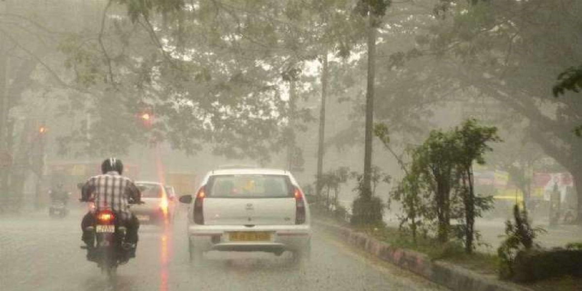
Rain-wind-thunderstorm (with isolated hailstorm) is expected in Punjab, Khyber Pakhtunkhuwa, Gilgit Baltistan, Kashmir and North/east Balochistan on Friday (today).
According to the updates by Pakistan Meteorological Department, a westerly wave is affecting western and upper parts of the country and likely to persist in upper parts till Sunday.
Moreover, rain-wind-thunderstorm (with isolated hailstorm) is expected in upper/central Punjab, Khyber Pakhtunkhuwa, Gilgit Baltistan and Kashmir on Saturday (tomorrow).
Past 24-hour weather
Rain-thunderstorm occurred in districts of Khyber Pakhtunkhwa, Balochistan, Kashmir, Upper Sindh, Punjab, Islamabad and Gilgit-Baltistan.
Rainfall(mm): Khyber Pakhtunkhuwa: Kalam 33, Mir Kha Ni 18, Malam Jabba 14, Chitral, Pattan 12, Dir (Upper 12, Lower 01), Drosh, Bannu 10, Saidu Sharif, Kakul 07, Parachinar 05, Cherat, Balakot 02, Peshawar (Airport, City 01), DI Khan 01, Balochistan: Lasbella 24, Zhob 11, Barkhan 08, Kalat 04, Turbat 02, Quetta (City 02, Samungli 01), Kashmir: Rawalakot 10, Muzaffarabad (Airport 10, City 09), Garhi Dupatta 07, Sindh: Jacobabad 10, Sakrand 06, Shaheed Benazirabad 01, Punjab: Murree 05, Islamabad (Zero Point 03, Airport, Saidpur 02, Golra, Bokra 01), Rawalpindi (Shamsabad) 02, Chaklala 01), Joharabad, Bhakkar, DG Khan 01, Gilgit-Baltistan: Bagrote 02, Astor and Gupis 01 mm.
Yesterday’s highest maximum Temperature’s (°C): Rahim Yar Khan 42, Bahawalnagar, Hyderabad, Khanpur, Larkana, Mohenjodharo, Shaheed Benazirabad and Dadu 39.