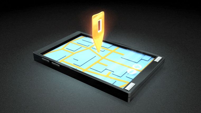
Today’s world is connected by the luxury of navigation by vehicle, with all the updated technology GPS, map apps, cameras alerts around us but we are still dependent on fixed traffic signals to reach from point A to point B.
Scientists from MIT’s Computer Science and Artificial Intelligence Laboratory (CSAIL) and the Qatar Centre for Artificial Intelligence have created a model that predicts very high-resolution crash risk maps.
The model is fed on a mixture of historic crash data, road maps, satellite imagery, and GPS traces, this data will help analyse the risk and forecast future crashes.
“By capturing the underlying risk distribution that determines the probability of future crashes at all places, and without any historical data, we can find safer routes, enable auto insurance companies to provide customized insurance plans based on driving trajectories of customers, help city planners design safer roads, and even predict future crashes,” says MIT CSAIL PhD student Songtao He, a lead author on a new paper about the research.
The crashes around the world cost the 3 percent of the world’s GDP and are the primary cause of death in children and young adults.
The model recognises high-risk locations using GPS path outlines, which give the main information about density, speed, and direction of traffic, and satellite images that defines road structures, number of lanes even the number of pedestrians.
“Our model can generalize from one city to another by combining multiple clues from seemingly unrelated data sources. This is a step toward general AI, because our model can predict crash maps in uncharted territories,” says Amin Sadeghi, a lead scientist at Qatar Computing Research Institute (QCRI) and an author on the paper. “The model can be used to infer a useful crash map even in the absence of historical crash data, which could translate to positive use for city planning and policymaking by comparing imaginary scenarios.”
“If people can use the risk map to identify potentially high-risk road segments, they can take action in advance to reduce the risk of trips they take. Apps like Waze and Apple Maps have incident feature tools, but we’re trying to get ahead of the crashes — before they happen,” says He.
If the MIT scientists succeeded in making this model accessible for common man, this could be the game changer for future traffic based issues and could possibly prevent fatal car crashes.