- National Weather Service will investigate to determine whether it was a tornado.
- Storm that was deemed to be a tornado passed over Jessieville School.
- Approximately 6 million people were under tornado.
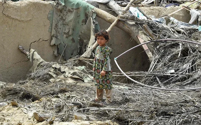
In the midst of a weather system that experts indicated may create tornadoes in the South, powerful wind caused damage to an Arkansas school on Monday while classes were in session, officials said.
A storm that was deemed to be a tornado passed over Jessieville School at around 2:44 p.m. without causing any injuries, according to a statement from the Garland County Sheriff’s Office.
According to the sheriff’s office, the National Weather Service will investigate to determine whether it was a tornado. Usually, storm survey teams are used to do this.
Approximately 6 million people were under tornado watches on Monday that included the state of Arkansas as well as portions of Louisiana, Oklahoma, and Texas. Jessieville, a community about 45 miles west of Little Rock, experienced the weather at the same time.
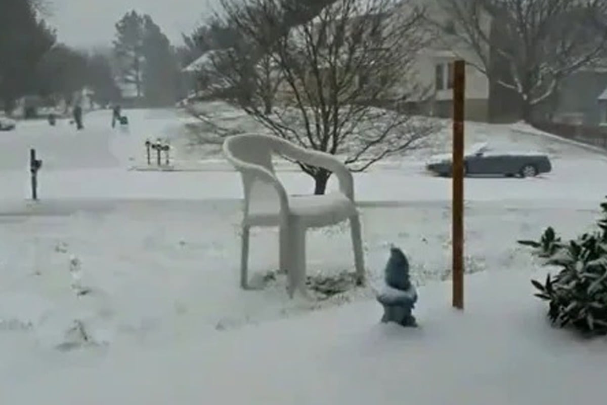
Further north, a winter storm moving this week across the Upper Midwest and the central Plains was predicted to bring significant amounts of snow, sleet, and freezing rain to various portions of the United States.
According to the National Weather Service, the storm was predicted to produce moderate to heavy snow, sleet, and freezing rain by Tuesday as it moved northeast towards the Great Lakes and brought snow to the Central High Plains.
The meteorological service stated in an early Monday forecast update that “intense snow rates of 1-2 inches per hour may be accompanied by thunder, especially in southern South Dakota and far southwest Minnesota.” It predicted that severe snowfall of more than 12 inches will swiftly accumulate from the Nebraska Panhandle through southwest Minnesota.
The weather agency cautioned that gusty winds might cause areas of blowing and drifting snow, which could blanket roadways with the white stuff, impair visibility, and pose a threat to traffic.
According to the local weather service, one-fourth of an inch of ice had formed in North Platte, Nebraska, by Monday afternoon. Around 2 feet of snow might fall in the Ainsworth region Monday night when the weather will change to snow only.
It was predicted that moisture from the Western Gulf of Mexico would flow northward across the Western Gulf Coast and Lower Mississippi Valley, where it would interact with the Plains front and cause showers and severe thunderstorms. The Lower Mississippi Valley was expected to have an increased danger of damaging thunderstorms from Monday morning into Tuesday morning.
According to the National Weather Service, the thunderstorms might produce frequent lightning, strong wind gusts, hail, and “a few tornadoes.”
The meteorological service warned that there was a slight chance of extreme rainfall over some areas of the Middle/Lower Mississippi Valley from Monday into Tuesday. Heavy rain is also anticipated in conjunction with the thunderstorms.
According to the weather service, “the concomitant heavy rain will generate mostly localised regions of flash flooding, with urban areas, roads, and small streams the most vulnerable.”
In several areas of east Texas, southeastern Oklahoma, Arkansas, and northern Louisiana, there was an increased chance of severe thunderstorms on Monday afternoon and evening.
The storm’s risk zone, which included over 19 million people, included the possibility of tornadoes, severe wind gusts, flooding downpours, and hail.
Through Monday night, there was a flood watch in effect for portions of east Texas, northern Louisiana, western Tennessee, and Arkansas.
Severe storms are predicted to keep moving eastward on Tuesday, wreaking havoc on the Tennessee Valley and the central Gulf Coast.
It follows a “once in a lifetime” blizzard that claimed hundreds of lives last month, with Buffalo and Erie County, New York, at the epicentre of the worst conditions.
The storm, according to Buffalo Mayor Byron Brown, was “certainly greater than anything that this city has seen in over 50 years,” he said on MSNBC’s “Morning Joe.”
[embedpost slug=”arkansas-three-officers-are-suspended-following-a-beating-in-a-video/”]